
44Uploads
243k+Views
134k+Downloads
All resources
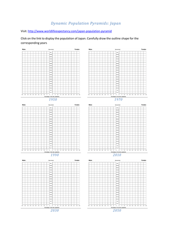
Dynamic Population Pyramids: Japan
Students draw the outline shape of Japan's population structure as it changes over time as it moves through stages of development and the demographic transition model. (Requires access to ICT / Internet)
The teachers' version could easily be laminated and converted into a card sort as a starter plenary activity etc for pupils to place in the correct order.
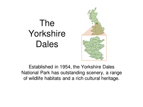
Yorkshire Dales
A useful revision aid to the Yorkshire Dales Limestone (Karst) landscape, features found in the Yorkshire Dales National Park

The Japanese Earthquake 2011
To research and consider the effects and responses of a recent significant earthquake in Japan 2011.
To become increasingly aware of local events that have wider reaching global impacts and consequences.
To appreciate the catastrophic nature of Tsunamis and their secondary impacts.
The use of ICT in mapping hazards and student research in producing a case study.
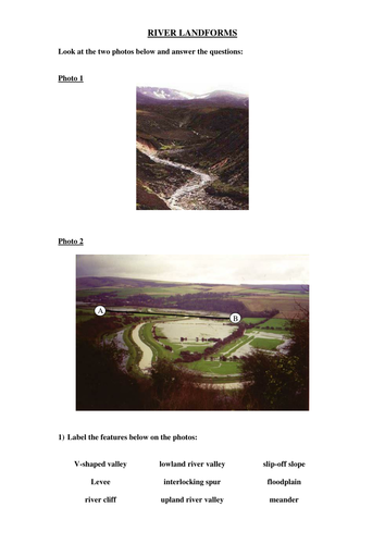
River Landform worksheet
Pupils will annotate a photo and draw a valley cross section. pupils will answer questions on river landforms and write a balanced extended answer to the potential development of landforlms (such as waterfalls) for the tourist industry. useful for an end of unit test.
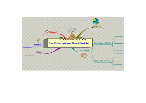
Mind Map Template Mount Pinatubo
A blank template to create a mind map about the 1991 Mount Pinatubo volcanic eruption. particularly useful when pupils consider the immediate and longer term effects of the eruption. The template can be used for other volcanic eruptions (Just blank out the central box) Useful for revision purposes and developing geographical skills.
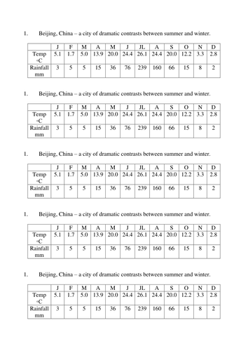
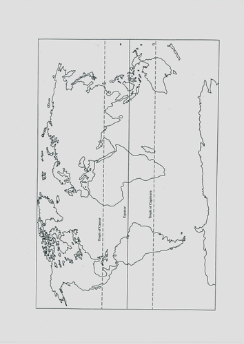
A Close up on China
A fill in the gaps worksheet activity regarding the economic development of China.
Also useful handouts: A Blank outline map of China and Climatic data for Beijing. Each are useful with Geog.3 lessons on China.
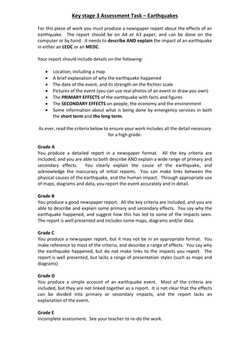
Earthquake Assessment
A KS3 Assessment task with grade descriptors for pupils producing a report on the primary and secondary effects of an Earthquake of their choice either from an LEDC or MEDC.

Characteristics of the CBD
A 'Fill in the Blanks' worksheet that revises the characteristics of the Central Business District.
Useful for Land Use Zones, Urban Structure, Settlements.

Investigating Coasts
A planning matrix of 10 lessons investigating the coastal environment, specifically designed for SEN pupils in KS3.
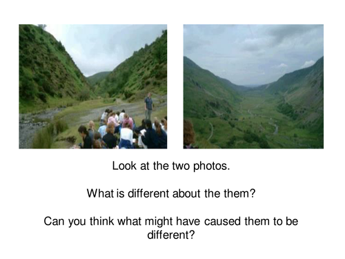
Glaciers Nature's Bulldozers
A worksheet and complimentary powerpoint introducing KS3 pupils to Glaciation and how Ice shapes the land.
Where do People Live?
Pupils define and calculate population density complete world distribution maps, plot data using proportional map symbols, and explain why there is a link between environmental factors and population density. Extention task using an Atlas to research additional information.
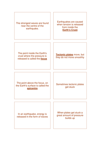
The Niigata Earthquake
Resources on the 2004 Japanese Earthquake in Niigata for students to identify the causes of an Earthquake. To classify the effects of the earthquake.
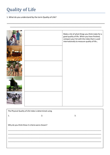
Quality of Life
Learning objectives:
To explore the idea of quality of life
To understand the ways that the international community tries to define quality of life
To compare the lifestyles of people with differing qualities of life.
Powerpoint and accompanying worksheet exploring Quality of Life, development, sustainable communities.
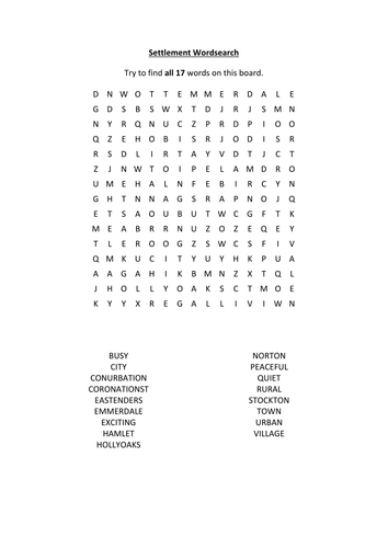
benefits and problems of settlement growth
A clear easy to follow powerpoint with activities included. some slides can be printed off individually and given to pupils as handouts.
Lesson objectives: To know how changes in the growth of settlements benefit some people more than others.
To recognise there are both good (positive) and bad (negative) points of settlement growth.
Past 8 Mark Questions Eduqas Geog B 2018 - 2022
The Past 8 Mark Questions from Eduqas Geog B 2018 - 2022